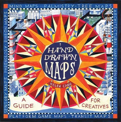
Hand-Drawn Maps
Shipping Class 2 = 69 SEK
Shipping Class 3 = 89 SEK EUROPE SHIPPING #1 Shipping Class 1 = 100 SEK
Shipping Class 2 = 150 SEK
Shipping Class 3 = 200 SEK EUROPE SHIPPING #2 Shipping Class 1 = 150 SEK
Shipping Class 2 = 200 SEK
Shipping Class 3 = 250 SEK EUROPE SHIPPING #3 Shipping Class 1 = 150 SEK
Shipping Class 2 = 250 SEK
Shipping Class 3 = 350 SEK OUTSIDE EUROPE SHIPPING Shipping Class 1 = 150 SEK
Shipping Class 2 = 250 SEK
Shipping Class 3 = 350 SEK
NOTE: You can buy as many items you want within the same shipping class. Read more » ×
Hand Drawn Maps is a fun ‘how to’ book about hand drawn cartography. It is introduced by a brief history of maps and map making, followed by five sections covering everything you need to know to make your own maps.
Section 1 covers the practicalities, so by the end of it you are equipped to create your own map using compasses, neatlines, cartouche, handlettering, and your own symbols.
Section 2 looks at different types of map, from picture and word maps to architectural blueprints and video game maps.
Section 3 uses a wide range of examples to show the reader how to create maps of places, from early strip maps used to describe the journeys taken by 18th-century stagecoaches to dungeon and treasure maps.
Section 4 covers maps of ideas. There are exercises throughout to enable the reader to build on the knowledge they have just gained. The book is completed by six stand-alone projects.
Table of Contents
Introduction • Section One: Map Anatomy – 1. Compasses and neatlines • 2. Hand lettered serifs • 3. Hand lettered sans serifs • 4. Cartouche • 5. Symbols • 6. Bring it together • Section Two: Types of Map – 7. Picture maps • 8. Text maps • 9. Axonometric maps • 10. Negative space map • 11. Architectural blueprint • 12. Video game maps Section Three: Maps of Places – 13. Subway maps • 14. Tree maps • 15. Journey maps
16. Annotated maps • Section Four: Maps of Ideas – 19. Phrenology • 20. Palmistry 21. Anatomical map • 22. Mind maps • 23. Sensory maps • 24. Mapping local characters 25. Mapping books • 26. Family tree map • Section Five: Projects – 27. Wedding or party invite using a basic hand drawn map • 28. Travel journal using journey maps • 29. Valentine card (a map of my heart) using an anatomical map • 30. Interesting ways to create folded maps • 31. New home card • 32. Business location map
Related products
-
History
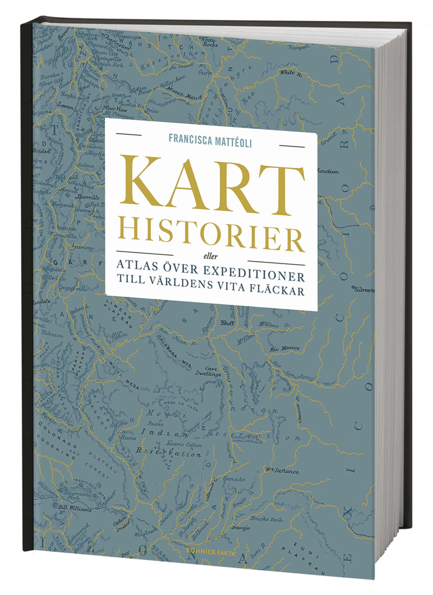
Karthistorier : Atlas över expeditioner till världens vita fläckar
Följ med på en odyssé till världens vita fläckar – till jordens okända, bortglömda, försvunna och mytomspunna platser. I Karthistorier berättar Francisca Mattéoli inlevelsefullt om stora expeditioner och osannolika bedrifter som genomförts för att rita kartor över okända platser, eller för att söka efter det bortglömda och försvunna. Hon skriver om hemliga platser att återupptäcka […]
285 SEK -
Architecture - Design - Kids
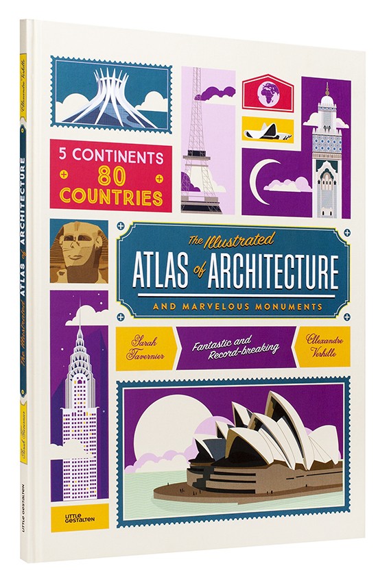
The Illustrated Atlas of Architecture and Marvelous Monuments
Mali, in North Africa, is home to the largest building made out of clay; the structure only took one year to complete. For the construction of Neuschwanstein Castle, 465 tons of marble were hefted to the Alps to the building site. The Atomium in Brussels boasts the longest escalators in Europe. The largest mosque in […]
249 SEK -
Design - Travel
On the Map
From Mappa Mundi to Myst – the bestselling Just My Type author turns his gaze to maps. Maps have the most amazing stories – and Simon Garfield is the perfect author to tell them. This is a book that…..
149 SEK


